OpenLawn vs. FindLotSize

Start with a lawn outline.
Not a blank map.

OpenLawn generates lawn polygons for you to review. FindLotSize lets you place markers and calculate the area or distance of a shape you draw. The key difference is who creates the first outline.

By OpenLawn · Reviewed
THE OPENLAWN WORKFLOW

See what goes
into the number.

Start with a customer address. Review the mapped grass, correct the outline, and keep the result for your next estimate.

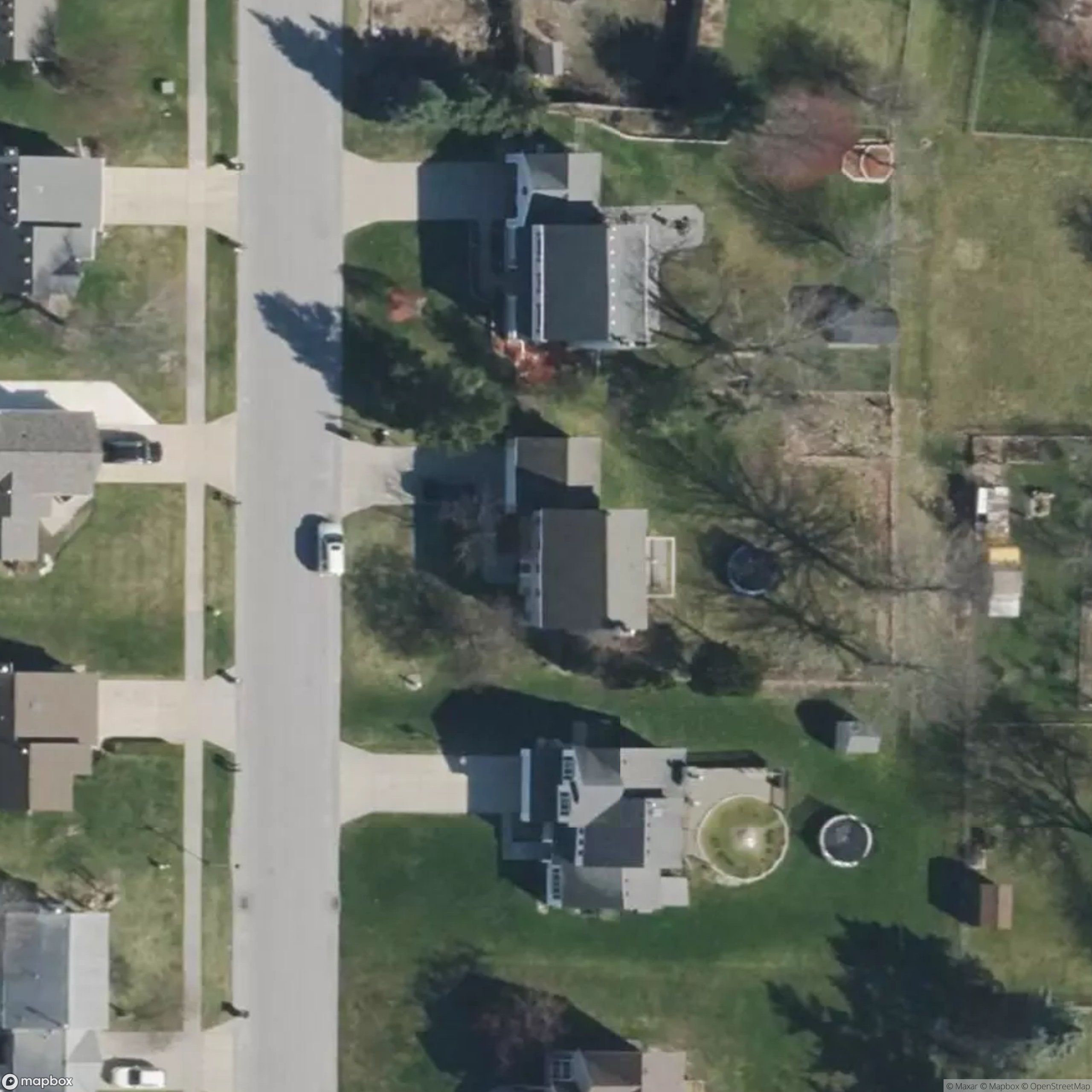
Actual saved residential measurement, corrected by a user. Illustrates OpenLawn only—not a side-by-side accuracy test.

What to include in a lawn measurement →
Actual residential aerial with a user-corrected lawn measurement around the home, deck and trampoline
User-corrected exampleImagery © Mapbox / OpenStreetMap

Accelerated replay of saved polygons, not a live measurement.

AT A GLANCE

OpenLawn vs. FindLotSize

FindLotSize’s published guide describes placing and dragging markers, area and distance readouts, and saving measurements in browser storage. Source ↗

Workflow comparison, reviewed September 6, 2026
What mattersOpenLawnFindLotSize
Starting pointAI maps visible lawn from a selected property address.Search a place, then place markers around the shape you want to measure.
Area being countedDesigned to separate lawn from roofs, pavement, and other non-lawn surfaces.Calculates the area of your manually defined shape.
EditingReview the estimate and adjust lawn polygons when needed.Drag markers, remove the last marker, or clear the markers.
Saved workAccount-based measurement history you can reopen after signing in.The web guide describes browser-local saves and warns that clearing browser data removes them.
MeasurementsEstimated lawn square footage for service scoping.Area and distance, with several area units including square feet and acres.
CHOOSE FOR THE JOB

Where each approach fits.

Choose OpenLawn

Choose OpenLawn when your team repeatedly measures customer lawns and wants an AI-generated starting point plus saved sessions. Spend review time on the grass that matters to the job instead of treating total lot size as the service area.

Consider FindLotSize

Consider manual tracing when you already know the exact shape you want and prefer to choose each point yourself. It is also useful for a one-off area or distance check that is not specifically about lawn.

Automation changes how the outline is made; it does not eliminate review. A carefully drawn manual outline can be useful, and an AI outline can still need correction.

A few practical questions.

Is FindLotSize measuring the lawn or the entire lot?

It measures the shape you define with markers. Whether that represents lawn, the entire lot, or something else depends on where you place those markers.

Does AI remove the need to check a measurement?

No. Review roofs, driveways, planting beds, shadows, and adjoining yards before using the result. Confirm that the mapped lawn matches the work you are actually quoting.

Does either tool establish legal property lines?

An aerial outline is not a legal boundary determination. Use the appropriate records and a licensed surveyor when a boundary must be legally established.