Choose OpenLawn
Choose OpenLawn for the estimating step: identify grass, review non-lawn exclusions, and save the working service area. Street-side verge or maintained grass outside a parcel is a separate scope decision, not evidence of ownership.
A county GIS viewer and OpenLawn answer different questions. Use local parcel records to research the property. Use OpenLawn to estimate the visible lawn you plan to service. They can work together.
By OpenLawn · ReviewedStart with a customer address. Review the mapped grass, correct the outline, and keep the result for your next estimate.
Actual saved residential measurement, corrected by a user. Illustrates OpenLawn only—not a side-by-side accuracy test.
What to include in a lawn measurement →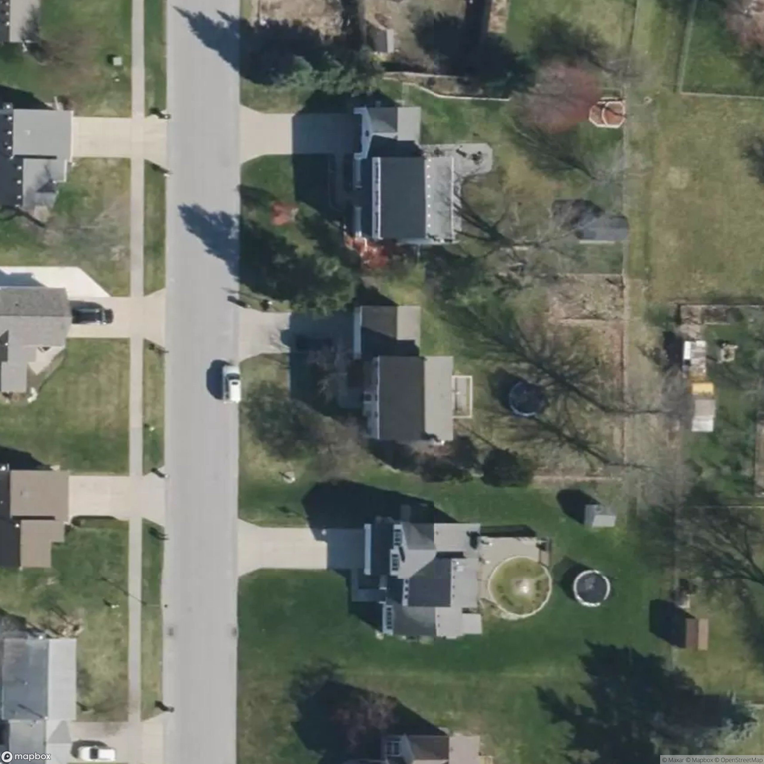
Accelerated replay of saved polygons, not a live measurement.
Local viewers vary. For example, King County’s Parcel Viewer supports address and parcel searches, property reports, zoning layers, and area or distance tools. It explicitly warns that lot lines are approximate. Source ↗
| What matters | OpenLawn | local GIS |
|---|---|---|
| Primary question | How much visible lawn is in this proposed service scope? | What parcel is this, and what information does this jurisdiction publish? |
| Map context | Available parcel lines help guide the AI lawn measurement; coverage varies. | Jurisdiction-specific parcel information and layers. King County includes zoning and assessor links. ↗ |
| Lawn versus lot | Maps lawn regions rather than counting the entire parcel as grass. | Parcel area includes more than lawn. Some viewers also let you manually measure a shape. |
| Next step | Review exclusions and corrections, then reopen the saved measurement for estimating. | Consult the local record or relevant department for property-specific questions. |
| Boundary certainty | An estimate, not a legal survey or proof of ownership. | King County explicitly identifies its map as unsuitable for survey or legal use; check your local disclaimer. ↗ |
Choose OpenLawn for the estimating step: identify grass, review non-lawn exclusions, and save the working service area. Street-side verge or maintained grass outside a parcel is a separate scope decision, not evidence of ownership.
Start with your local GIS or assessor when you need parcel context or links to local records. For a boundary dispute, fence location, or other legally sensitive decision, seek the relevant professional advice instead of relying on an aerial overlay.
Do not replace a county record with an AI guess—or replace a lawn estimate with total parcel acreage. Keep the source parcel information and your proposed service scope distinct.
No. OpenLawn uses available parcel context to support lawn measurement. Your local jurisdiction remains the place to check its published property records, data dates, and disclaimers.
The parcel can contain a house, driveway, beds, and other non-lawn areas. Estimate the actual work area, then separately consider access, slope, obstacles, and your service requirements.
No. Search tools, available layers, measurement controls, access terms, and data quality vary by jurisdiction. The King County viewer is an example, not a claim about every county.